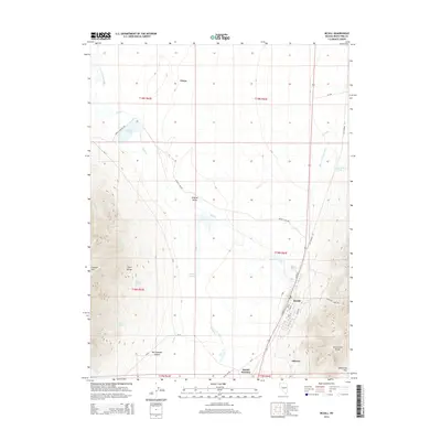
2014 Map of McGill
USGS Topo · Published 2014About this map
McGill stands at the base of the Duck Creek Range, serving as a central hub for the industrial and water infrastructure of the Steptoe Valley. The landscape is defined by its complex water management systems, including the Dunham McGill Ditch, Duck Cr Overflow Canal, and the extensive Tailings Cr network that descends from the higher elevations. These features, along with the Levee near the town center, reflect the engineering required to support both local settlement and nearby operations at the turn of the 21st century.
Find a feature on this map
44 named features on this map. Tap any name to fly to it.
Don’t see what you’re looking for? This feature index may not catch every label — zoom into the map to look around manually.
Map Details
Editions of this 2014 McGill Map
This is the sole edition of this map. No revisions or reprints were ever made.
Other maps of this area

1952 · Ely
USGS Topo · 1:125,000

1956 · Ely
USGS Topo · 1:250,000

1958 · McGill
USGS Topo · 1:24,000

1958 · Ruth
USGS Topo · 1:24,000

1958 · East Ely
USGS Topo · 1:24,000

1958 · McGill
USGS Topo · 1:62,500

1959 · Ely
USGS Topo · 1:250,000

1959 · Schell Peaks
USGS Topo · 1:62,500

1963 · Ely
USGS Topo · 1:250,000

1981 · Duck Creek Valley
USGS Topo · 1:24,000