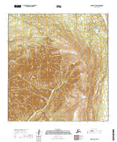
2019 Map of McGrath A-4 NW
USGS Topo · Published 2019About this map
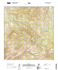
Big River carves through the northeastern corner of this interior Alaskan landscape, serving as the primary drainage for a region dominated by high-elevation contours. The map captures the remote expanse of the Yukon-Koyukuk Census Area within the legal frameworks of t25n r31w and t25n r30w, illustrating a terrain defined entirely by its natural hydrology and topographic relief. With no roads or permanent structures indicated, the survey emphasizes the undisturbed nature of the wilderness as it was documented in the early twenty-first century, providing a baseline for environmental study and geological exploration.
Find a feature on this map
3 named features on this map. Tap any name to fly to it.
Don’t see what you’re looking for? This feature index may not catch every label — zoom into the map to look around manually.
Map Details
Editions of this 2019 McGrath A-4 NW Map
This is the sole edition of this map. No revisions or reprints were ever made.
Other maps of this area

1949 · McGrath
USGS Topo · 1:250,000

1950 · McGrath
USGS Topo · 1:250,000

1954 · McGrath B-4
USGS Topo · 1:63,360

1954 · McGrath A-4
USGS Topo · 1:63,360

1954 · McGrath B-5
USGS Topo · 1:63,360
1954 · McGrath A-5
USGS Topo · 1:63,360

1958 · McGrath
USGS Topo · 1:250,000
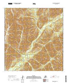
2019 · McGrath A-5 SE
USGS Topo · 1:25,000
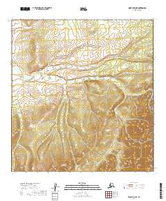
2019 · McGrath A-5 NE
USGS Topo · 1:25,000
2019 · McGrath B-5 SE
USGS Topo · 1:25,000