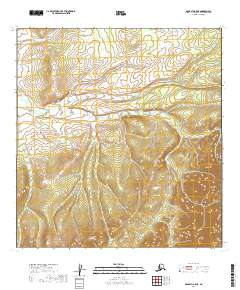
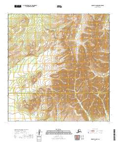
2019 Map of McGrath A-5 NE
USGS Topo · Published 2019About this map
The Public Land Survey System divisions of T25n R32w, T25n R31w, and T24n R32w reveal a complex, undeveloped landscape in the Yukon-Koyukuk region of Alaska. This 2019 survey, produced by the U.S. Geological Survey using SPOT imagery and National Elevation Dataset contours, documents the intricate drainage patterns and rising elevations characteristic of the McGrath A-5 NE quadrangle. The map is notably sparse, lacking any named settlements, schools, cemeteries, or roads, illustrating the profound isolation of this wilderness area near the southern interior of Alaska. Instead, the topography is defined by the rigid grid of the township and range system, which provides the only human-imposed structure to this otherwise trackless terrain. Researchers can use the 20-foot contour intervals to trace the sharp relief and natural hydrology of the Kuskokwim River drainage area.
Find a feature on this map
5 named features on this map. Tap any name to fly to it.
Don’t see what you’re looking for? This feature index may not catch every label — zoom into the map to look around manually.
Map Details
Editions of this 2019 McGrath A-5 NE Map
This is the sole edition of this map. No revisions or reprints were ever made.
Other maps of this area

1949 · McGrath
USGS Topo · 1:250,000

1950 · McGrath
USGS Topo · 1:250,000

1954 · McGrath B-4
USGS Topo · 1:63,360

1954 · McGrath A-4
USGS Topo · 1:63,360

1954 · McGrath B-5
USGS Topo · 1:63,360
1954 · McGrath A-5
USGS Topo · 1:63,360

1958 · McGrath
USGS Topo · 1:250,000
2019 · McGrath A-5 SE
USGS Topo · 1:25,000
2019 · McGrath B-5 SW
USGS Topo · 1:25,000
2019 · McGrath A-5 SW
USGS Topo · 1:25,000