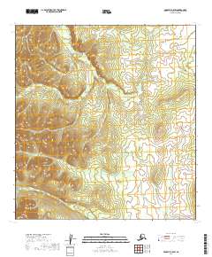
2019 Map of McGrath B-5 SW
USGS Topo · Published 2019About this map
The Selatna River meanders through the heart of this landscape in the McGrath B-5 SW quadrangle, highlighting a territory defined by its pristine drainage systems. Flowing through the eastern portion of the map, the Tatlawiksuk River adds another significant waterway to the region's complex hydrological profile. The terrain is marked by township and range divisions such as t26n r33w, illustrating the geometric grid overlaying the natural contours of the Alaskan wilderness.
Find a feature on this map
8 named features on this map. Tap any name to fly to it.
Don’t see what you’re looking for? This feature index may not catch every label — zoom into the map to look around manually.
Map Details
Editions of this 2019 McGrath B-5 SW Map
This is the sole edition of this map. No revisions or reprints were ever made.
Other maps of this area

1949 · McGrath
USGS Topo · 1:250,000

1950 · McGrath
USGS Topo · 1:250,000

1954 · McGrath B-6
USGS Topo · 1:63,360

1954 · McGrath B-5
USGS Topo · 1:63,360
1954 · McGrath A-5
USGS Topo · 1:63,360
1954 · McGrath A-6
USGS Topo · 1:63,360

1958 · McGrath
USGS Topo · 1:250,000
2019 · McGrath B-6 SE
USGS Topo · 1:25,000
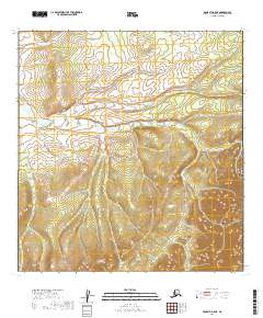
2019 · McGrath A-5 NE
USGS Topo · 1:25,000
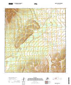
2019 · McGrath A-5 NW
USGS Topo · 1:25,000