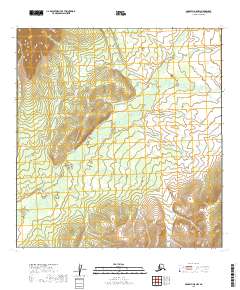
2019 Map of McGrath A-5 NW
USGS Topo · Published 2019About this map
The Tatlawiksuk River carves a winding path through this portion of the Alaska interior, defining the drainage patterns and low-lying topography of the Yukon-Koyukuk region. This 2019 survey, based on SPOT imagery and National Hydrography Dataset records, illustrates the intricate meanders of the river as it flows across township boundaries including T25n R33w and T24n R34w. The landscape is characterized by a significant elevation gradient, with the river valley transitioning into higher terrain marked by dense contouring in the northwestern and southeastern corners of the quadrangle. This map serves as a contemporary record of a remote river system, capturing the exact course of the water and the formal Public Land Survey System divisions that organize this roadless wilderness.
Find a feature on this map
6 named features on this map. Tap any name to fly to it.
Don’t see what you’re looking for? This feature index may not catch every label — zoom into the map to look around manually.
Map Details
Editions of this 2019 McGrath A-5 NW Map
This is the sole edition of this map. No revisions or reprints were ever made.
Other maps of this area

1949 · McGrath
USGS Topo · 1:250,000

1950 · McGrath
USGS Topo · 1:250,000

1954 · McGrath B-6
USGS Topo · 1:63,360

1954 · McGrath B-5
USGS Topo · 1:63,360
1954 · McGrath A-5
USGS Topo · 1:63,360
1954 · McGrath A-6
USGS Topo · 1:63,360

1958 · McGrath
USGS Topo · 1:250,000
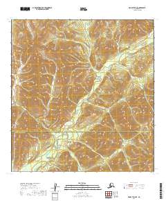
2019 · McGrath A-5 SE
USGS Topo · 1:25,000
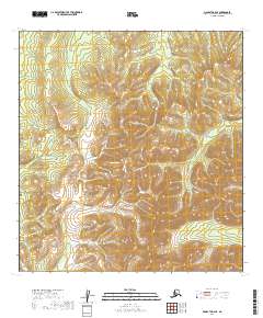
2019 · McGrath B-6 SE
USGS Topo · 1:25,000
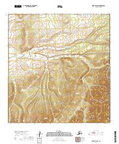
2019 · McGrath A-5 NE
USGS Topo · 1:25,000