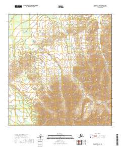
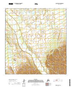
2019 Map of McGrath B-3 SW
USGS Topo · Published 2019About this map
The Middle Fork Kuskokwim River cuts through the southwestern corner of this landscape, representing the primary waterway in a region otherwise dominated by the rising elevations of the Alaska Range. This 2019 survey documents a largely unpeopled expanse of the Yukon-Koyukuk Census Area, where the terrain transitions from river drainage to significant mountain slopes. The map provides precise topographic data for the intersection of Townships 25 and 26 North across Ranges 27 and 28 West, offering researchers a look at the natural drainage patterns and land contours before any significant human development reached this interior section of the state.
Find a feature on this map
6 named features on this map. Tap any name to fly to it.
Don’t see what you’re looking for? This feature index may not catch every label — zoom into the map to look around manually.
Map Details
Editions of this 2019 McGrath B-3 SW Map
This is the sole edition of this map. No revisions or reprints were ever made.
Other maps of this area

1949 · McGrath
USGS Topo · 1:250,000

1950 · McGrath
USGS Topo · 1:250,000

1954 · McGrath B-4
USGS Topo · 1:63,360

1954 · McGrath A-4
USGS Topo · 1:63,360

1958 · McGrath A-3
USGS Topo · 1:63,360
1958 · McGrath B-3
USGS Topo · 1:63,360

1958 · McGrath
USGS Topo · 1:250,000
2019 · McGrath B-3 NW
USGS Topo · 1:25,000
2019 · McGrath B-3 SE
USGS Topo · 1:25,000
2019 · McGrath B-3 NE
USGS Topo · 1:25,000