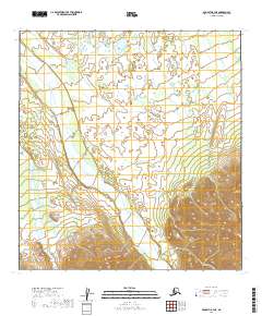
2019 Map of McGrath B-3 NE
USGS Topo · Published 2019About this map
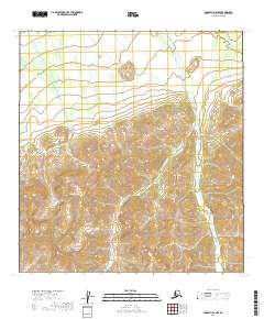
Pitka Fork Middle Fork Kuskokwim River and the braided channels of the Windy Fork Middle Fork Kuskokwim River dominate this interior landscape within the Yukon-Koyukuk Census Area. These expansive river systems, characteristic of the Alaskan subarctic, create a complex network of gravel bars and shifting watercourses as they flow through the northern reaches of the Alaska Range. The western portion of the terrain is drained by Khuchaynik Creek, which meanders through lower elevations before meeting the larger forks.
Find a feature on this map
9 named features on this map. Tap any name to fly to it.
Don’t see what you’re looking for? This feature index may not catch every label — zoom into the map to look around manually.
Map Details
Editions of this 2019 McGrath B-3 NE Map
This is the sole edition of this map. No revisions or reprints were ever made.
Other maps of this area

1949 · McGrath
USGS Topo · 1:250,000

1950 · McGrath
USGS Topo · 1:250,000

1954 · McGrath C-3
USGS Topo · 1:63,360

1958 · McGrath B-2
USGS Topo · 1:63,360

1958 · McGrath C-2
USGS Topo · 1:63,360
1958 · McGrath B-3
USGS Topo · 1:63,360

1958 · McGrath
USGS Topo · 1:250,000
2019 · McGrath B-2 SW
USGS Topo · 1:25,000
2019 · McGrath C-2 SW
USGS Topo · 1:25,000
2019 · McGrath B-2 NW
USGS Topo · 1:25,000