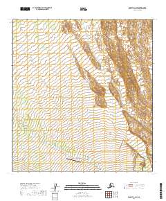
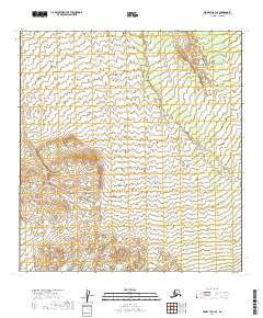
2019 Map of McGrath C-2 SW
USGS Topo · Published 2019About this map
Farewell Landing serves as a lone focal point of human activity within this interior Alaskan landscape, situated along the meandering path of Sheep Creek. The survey reveals a remote wilderness defined by intricate drainage patterns and subtle elevation shifts, where small watercourses like Bear Cr carve through the basin floor. The mapping of township and range boundaries across this region underscores the formal organization of the public land system in a territory characterized by its vast, undeveloped terrain and lack of established road infrastructure during the early twenty-first century.
Find a feature on this map
8 named features on this map. Tap any name to fly to it.
Don’t see what you’re looking for? This feature index may not catch every label — zoom into the map to look around manually.
Map Details
Editions of this 2019 McGrath C-2 SW Map
This is the sole edition of this map. No revisions or reprints were ever made.
Other maps of this area

1949 · McGrath
USGS Topo · 1:250,000

1950 · McGrath
USGS Topo · 1:250,000

1954 · McGrath C-3
USGS Topo · 1:63,360

1958 · McGrath B-2
USGS Topo · 1:63,360

1958 · McGrath C-2
USGS Topo · 1:63,360
1958 · McGrath B-3
USGS Topo · 1:63,360

1958 · McGrath
USGS Topo · 1:250,000
2019 · McGrath B-2 NW
USGS Topo · 1:25,000
2019 · McGrath C-2 SE
USGS Topo · 1:25,000
2019 · McGrath C-3 SE
USGS Topo · 1:25,000