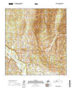
2019 Map of McGrath B-4 NW
USGS Topo · Published 2019About this map
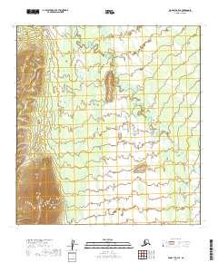
Lone Mtn rises as a prominent landmark in this interior Alaskan landscape, anchoring the northern portion of a quadrangle defined by extensive marshy lowlands and meandering drainage patterns. The southwestern corner is dominated by the Big River, which snakes through a wide valley floor characterized by numerous small ponds and wetland pockets. This 2019 survey illustrates a wilderness nearly devoid of human infrastructure, focusing instead on the complex topography of the central highlands and the hydraulic network that feeds into the river system. The terrain transitions from the steep contours of the mountain slopes into a vast expanse of unpopulated tundra, providing a detailed look at the natural geography within the Yukon-Koyukuk Census Area.
Find a feature on this map
8 named features on this map. Tap any name to fly to it.
Don’t see what you’re looking for? This feature index may not catch every label — zoom into the map to look around manually.
Map Details
Editions of this 2019 McGrath B-4 NW Map
This is the sole edition of this map. No revisions or reprints were ever made.
Other maps of this area

1949 · McGrath
USGS Topo · 1:250,000

1950 · McGrath
USGS Topo · 1:250,000

1953 · McGrath C-4
USGS Topo · 1:63,360

1954 · McGrath B-4
USGS Topo · 1:63,360

1954 · McGrath B-5
USGS Topo · 1:63,360
1955 · McGrath C-5
USGS Topo · 1:63,360

1958 · McGrath
USGS Topo · 1:250,000
2019 · McGrath C-5 SE
USGS Topo · 1:25,000
2019 · McGrath B-5 NE
USGS Topo · 1:25,000
2019 · McGrath C-4 SE
USGS Topo · 1:25,000