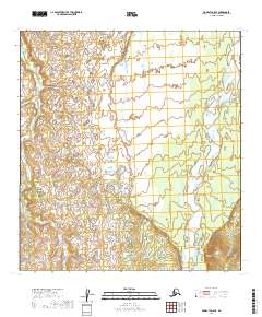
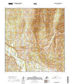
2019 Map of McGrath C-5 SE
USGS Topo · Published 2019About this map
Katlitna River and Big River dominate this interior Alaskan landscape within the Yukon-Koyukuk region. This 2019 survey captures a complex network of wetlands and seasonal watercourses, where the braided channels of the Big River flow alongside countless unnamed ponds and marshy depressions. The Blackwater Cr meanders through the central terrain, serving as a primary drainage between the larger river systems. This area is characterized by the absence of permanent settlements or road infrastructure, defined instead by the Public Land Survey System boundaries of t29n r32w and t28n r31w. The topography is relatively flat, with subtle elevation changes indicated by ten-foot contour intervals, revealing the delicate hydrology of this subarctic river basin.
Find a feature on this map
7 named features on this map. Tap any name to fly to it.
Don’t see what you’re looking for? This feature index may not catch every label — zoom into the map to look around manually.
Map Details
Editions of this 2019 McGrath C-5 SE Map
This is the sole edition of this map. No revisions or reprints were ever made.
Other maps of this area

1949 · McGrath
USGS Topo · 1:250,000

1950 · McGrath
USGS Topo · 1:250,000

1953 · McGrath C-4
USGS Topo · 1:63,360

1954 · McGrath B-4
USGS Topo · 1:63,360

1954 · McGrath B-5
USGS Topo · 1:63,360
1955 · McGrath C-5
USGS Topo · 1:63,360

1958 · McGrath
USGS Topo · 1:250,000
2019 · McGrath C-5 NE
USGS Topo · 1:25,000
2019 · McGrath C-5 SW
USGS Topo · 1:25,000
2019 · McGrath B-4 NW
USGS Topo · 1:25,000