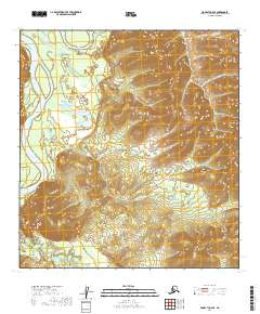
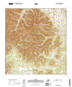
2019 Map of McGrath C-6 SE
USGS Topo · Published 2019About this map
The winding Kuskokwim River defines the western edge of this interior landscape, where braided water channels meet the rising slopes of Selatna Mtn. The topography shows a transition from the low-lying river plains to the upland ridges that separate various drainage basins. The Little Selatna River and the main Selatna River carve through the southern half of the quadrangle, creating a complex hydrologic network typical of the Yukon-Koyukuk region. In the northwest corner, the confluence with the Black River illustrates the dynamic nature of these subarctic waterways. This 2019 survey documents the natural contours of the land across several township boundaries, including t29n r34w and t28n r35w, recording the path of the river systems before they merge into the larger Yukon basin.
Find a feature on this map
10 named features on this map. Tap any name to fly to it.
Don’t see what you’re looking for? This feature index may not catch every label — zoom into the map to look around manually.
Map Details
Editions of this 2019 McGrath C-6 SE Map
This is the sole edition of this map. No revisions or reprints were ever made.
Other maps of this area

1949 · McGrath
USGS Topo · 1:250,000

1950 · McGrath
USGS Topo · 1:250,000

1954 · McGrath B-6
USGS Topo · 1:63,360

1954 · McGrath C-6
USGS Topo · 1:63,360

1954 · McGrath B-5
USGS Topo · 1:63,360
1955 · McGrath C-5
USGS Topo · 1:63,360

1958 · McGrath
USGS Topo · 1:250,000
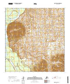
2019 · McGrath C-6 NE
USGS Topo · 1:25,000
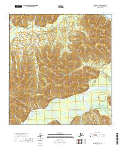
2019 · McGrath C-6 SW
USGS Topo · 1:25,000
2019 · McGrath C-5 SW
USGS Topo · 1:25,000