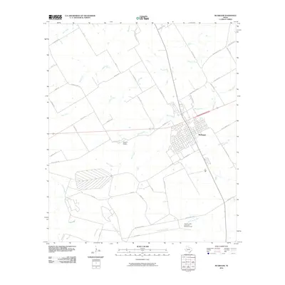
2010 Map of McGregor
USGS Topo · Published 2010About this map
The city of McGregor anchors this Central Texas landscape, shown at a time of significant institutional and infrastructure development. To the south, the Texas A and M University Research Center occupies a large tract of land near the South Bosque River, highlighting the area's role in agricultural and scientific study. The map records a dense network of watercourses that drain the prairie, including Harris Creek, Pecan Creek, and Wasp Creek.
Find a feature on this map
45 named features on this map. Tap any name to fly to it.
Don’t see what you’re looking for? This feature index may not catch every label — zoom into the map to look around manually.
Map Details
Editions of this 2010 McGregor Map
This is the sole edition of this map. No revisions or reprints were ever made.
Other maps of this area

1888 · Meridian
USGS Topo · 1:125,000

1892 · Temple
USGS Topo · 1:125,000

1892 · Waco
USGS Topo · 1:125,000

1894 · Meridian
USGS Topo · 1:125,000

1894 · Gatesville
USGS Topo · 1:125,000

1920 · Waco
USGS Topo · 1:125,000

1924 · Waco 3-d
USGS Topo · 1:48,000

1924 · Temple 2-C
USGS Topo · 1:48,000

1931 · Valley Mills
USGS Topo · 1:62,500

1931 · Mc Gregor
USGS Topo · 1:62,500