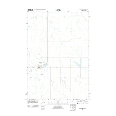
2012 Map of McIntosh
USGS Topo · Published 2012About this map
McIntosh serves as the central hub of this northern South Dakota landscape, where the grid of the town site meets the winding courses of White Shirt Cr and Stink Cr. The settlement pattern is defined by the historical alignment of Railway St and the local road network, including Co Rd and 103rd St. Local genealogy is anchored by the presence of McIntosh Cem and Saint Bonaventure Cem located north of the main residential blocks. The area's infrastructure is further detailed by the McIntosh Municipal Airport and the eastern waters of McIntosh Lake. To the north, the landscape is increasingly sparse, marked primarily by the drainage of Roger Cr, reflecting the rural character of the Standing Rock reservation area in the early 21st century.
Find a feature on this map
17 named features on this map. Tap any name to fly to it.
Don’t see what you’re looking for? This feature index may not catch every label — zoom into the map to look around manually.
Map Details
Editions of this 2012 McIntosh Map
This is the sole edition of this map. No revisions or reprints were ever made.
Other maps of this area

1953 · McIntosh
USGS Topo · 1:250,000

1954 · Bismarck
USGS Topo · 1:250,000

1956 · Bullhead SW
USGS Topo · 1:24,000

1958 · Bismarck
USGS Topo · 1:250,000

1958 · McIntosh
USGS Topo · 1:250,000

1971 · Lookout Butte
USGS Topo · 1:24,000

1971 · Shields SW
USGS Topo · 1:24,000

1971 · Lookout Butte SE
USGS Topo · 1:24,000

1972 · McIntosh SW
USGS Topo · 1:24,000

1972 · Hump Butte
USGS Topo · 1:24,000
Featured Places
- McIntosh, Rock Creek District
- Porcupine District, ND
- Rock Creek District, SD
- Sioux County, ND
- Corson County, SD