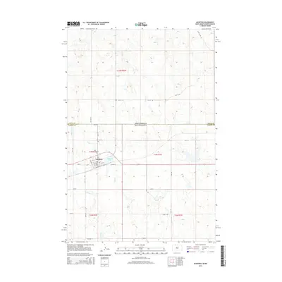
2015 Map of McIntosh
USGS Topo · Published 2015About this map
McIntosh serves as the focal point of this northern South Dakota landscape, situated just south of the state line where North Dakota and South Dakota meet. The town's layout is defined by its connection to the rail line, evidenced by Railway St and Railway St E, which parallel the tracks near the shores of McIntosh Lake. Local history and genealogy are anchored by Saint Bonaventure Cem and McIntosh Cem, located on the western periphery of the settlement. The surrounding terrain is a network of intermittent watercourses, including the oddly named Stink Cr, which winds through the prairie south of the border, and White Shirt Cr to the southwest. To the north, Roger Cr drains the landscape in the t129n r85w township of North Dakota. This survey illustrates the persistent grid of rural roads, such as 238th Ave and 100th St, that organize the vast grazing lands and agricultural plots characteristic of the Rock Creek District.
Find a feature on this map
34 named features on this map. Tap any name to fly to it.
Don’t see what you’re looking for? This feature index may not catch every label — zoom into the map to look around manually.
Map Details
Editions of this 2015 McIntosh Map
This is the sole edition of this map. No revisions or reprints were ever made.
Other maps of this area

1953 · McIntosh
USGS Topo · 1:250,000

1954 · Bismarck
USGS Topo · 1:250,000

1956 · Bullhead SW
USGS Topo · 1:24,000

1958 · Bismarck
USGS Topo · 1:250,000

1958 · McIntosh
USGS Topo · 1:250,000

1971 · Lookout Butte
USGS Topo · 1:24,000

1971 · Shields SW
USGS Topo · 1:24,000

1971 · Lookout Butte SE
USGS Topo · 1:24,000

1972 · McIntosh SW
USGS Topo · 1:24,000

1972 · Hump Butte
USGS Topo · 1:24,000
Featured Places
- McIntosh, Rock Creek District
- Porcupine District, ND
- Rock Creek District, SD
- Sioux County, ND
- Corson County, SD