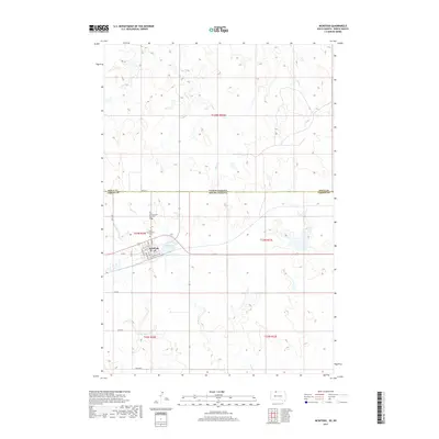
2017 Map of McIntosh
USGS Topo · Published 2017About this map
The borderlands of the Dakotas are anchored here by McIntosh, a settlement situated precisely at the intersection of the North Dakota South Dakota state line and the Sioux Co Corson Co boundary. The town's grid is clearly defined, with Main St and Railway St W serving as local thoroughfares. To the north of the town center, McIntosh Lake provides a notable hydrologic feature in a landscape otherwise defined by the meandering drainage of Stink Cr, Roger Cr, and White Shirt Cr.
Find a feature on this map
29 named features on this map. Tap any name to fly to it.
Don’t see what you’re looking for? This feature index may not catch every label — zoom into the map to look around manually.
Map Details
Editions of this 2017 McIntosh Map
This is the sole edition of this map. No revisions or reprints were ever made.
Other maps of this area

1953 · McIntosh
USGS Topo · 1:250,000

1954 · Bismarck
USGS Topo · 1:250,000

1956 · Bullhead SW
USGS Topo · 1:24,000

1958 · Bismarck
USGS Topo · 1:250,000

1958 · McIntosh
USGS Topo · 1:250,000

1971 · Lookout Butte
USGS Topo · 1:24,000

1971 · Shields SW
USGS Topo · 1:24,000

1971 · Lookout Butte SE
USGS Topo · 1:24,000

1972 · McIntosh SW
USGS Topo · 1:24,000

1972 · Hump Butte
USGS Topo · 1:24,000
Featured Places
- McIntosh, Rock Creek District
- Porcupine District, ND
- Rock Creek District, SD
- Sioux County, ND
- Corson County, SD