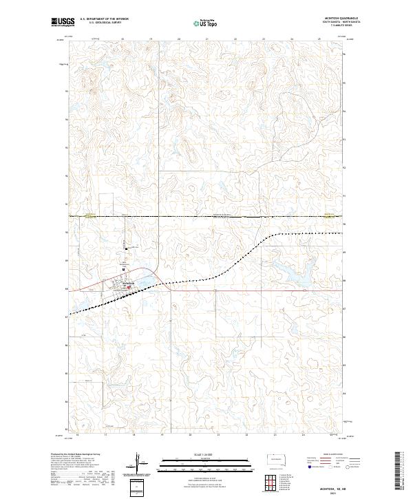
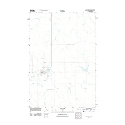
2021 Map of McIntosh
USGS Topo · Published 2021About this map
The Corson County Courthouse serves as the focal point of Mcintosh, a high-plains community situated just south of the border between North Dakota and South Dakota. This modern survey reveals the town's grid, centered on Main St and 1st Ave W, flanked by the waters of Mcintosh Lake. The landscape is defined by the drainage basins of White Shirt Cr, Roger Cr, and Stink Cr, which carve through the open terrain of northern Corson County. Local history is anchored by the Mcintosh Cem and Saint Bonaventure Cem north of the residential center, providing significant points for genealogical research within the Standing Rock Reservation area.
Find a feature on this map
28 named features on this map. Tap any name to fly to it.
Don’t see what you’re looking for? This feature index may not catch every label — zoom into the map to look around manually.
Map Details
Editions of this 2021 McIntosh Map
This is the sole edition of this map. No revisions or reprints were ever made.
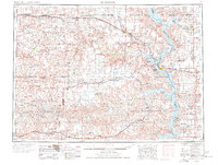
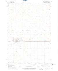
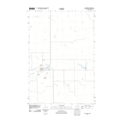
Historical Maps of McIntosh Through Time
9 maps found


Featured Locations
- Corson County, SD
- Sioux County, ND
- Rock Creek District, SD
- Porcupine District, ND
- McIntosh, Rock Creek District