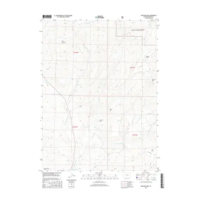
2016 Map of McInturf Mesa
USGS Topo · Published 2016About this map
Mcinturf Mesa dominates this Moffat County landscape, illustrating a high-altitude terrain defined by its water management and grazing potential. The northern reaches are characterized by the Routt National Forest and features like Dry Cottonwood Reservoir and Little Buck Mtn. A complex system of man-made irrigation, including Cataract Ditch, Elkhorn Ditch, and Tipton Ditch, underscores the area's agricultural heritage and the necessity of moving water across the high mesas. In the south, the landscape transitions through Cedar Hill toward Ralph White Lake, with numerous drainages such as Fortification Cr and Little Bear Cr carving deep into the earth. This survey provides a clear view of the rural road network, notably Co RD 27 and N Co RD 18, which link the various gulches and peaks of this Colorado mountain region.
Find a feature on this map
30 named features on this map. Tap any name to fly to it.
Don’t see what you’re looking for? This feature index may not catch every label — zoom into the map to look around manually.
Map Details
Editions of this 2016 McInturf Mesa Map
This is the sole edition of this map. No revisions or reprints were ever made.
Other maps of this area
1916 · Craig
USGS Topo · 1:125,000
1923 · Elkhead Creek
USGS Topo · 1:62,500
1924 · Elkhead Creek
USGS Topo · 1:62,500

1954 · Craig
USGS Topo · 1:250,000
1957 · Craig
USGS Topo · 1:250,000
1958 · Craig
USGS Topo · 1:250,000
1960 · Craig
USGS Topo · 1:250,000
1962 · Craig
USGS Topo · 1:250,000
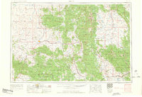
1964 · Craig
USGS Topo · 1:250,000
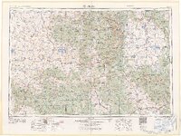
1965 · Craig
USGS Topo · 1:250,000