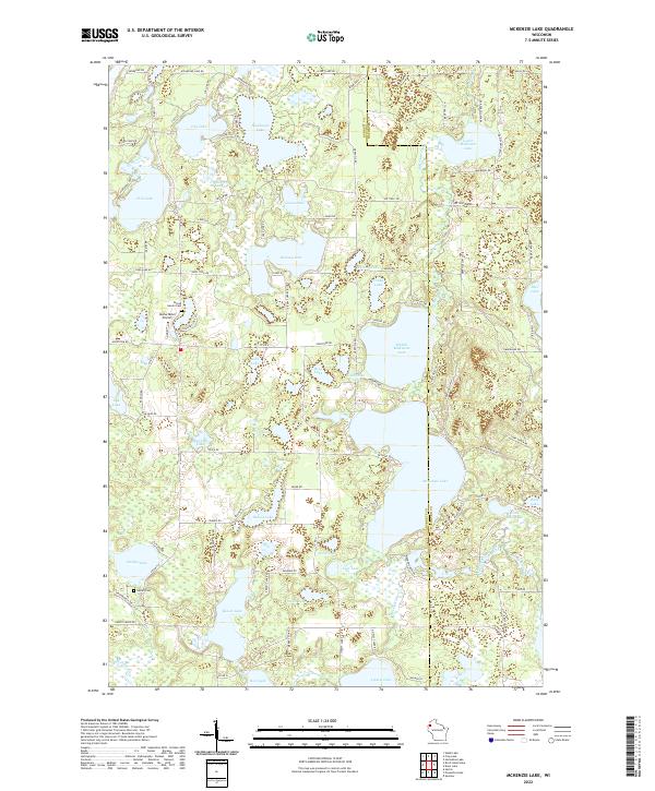
2022 Map of McKenzie Lake
USGS Topo · Published 2022About this map
McKenzie Lake and its neighbors, Middle McKenzie Lake and Lower McKenzie Lake, dominate this north-central Wisconsin landscape along the boundary between Burnett and Washburn counties. The region is defined by a dense network of glacial water bodies, from the larger Nicaboyne Lake and Benoit Lake to smaller basins like Rooney Lake and Lindy Lake. This aquatic geography is tied together by waterways such as McKenzie Creek and the Yellow River, which flows through the southwestern corner. Local heritage is grounded in landmarks like the Sacred Hearts Cem and Gaslyn Cem, providing essential points of interest for genealogists. The presence of the Alpha Hotel Airport near Augustine Rd indicates a developed recreational or local transport infrastructure amidst the dense lake system, while a grid of local routes like Swiss Trail Rd and Kesler RD connect the various shoreline properties and wooded tracts.
Find a feature on this map
106 named features on this map. Tap any name to fly to it.
Don’t see what you’re looking for? This feature index may not catch every label — zoom into the map to look around manually.
Map Details
Editions of this 2022 McKenzie Lake Map
This is the sole edition of this map. No revisions or reprints were ever made.
Other maps of this area

1947 · Minong
USGS Topo · 1:48,000

1948 · Spooner
USGS Topo · 1:48,000

1949 · Hertel
USGS Topo · 1:48,000

1949 · Minong
USGS Topo · 1:48,000

1949 · Webb Lake
USGS Topo · 1:48,000

1949 · Spooner
USGS Topo · 1:48,000

1953 · Ashland
USGS Topo · 1:250,000

1953 · Duluth
USGS Topo · 1:250,000

1953 · Rice Lake
USGS Topo · 1:250,000

1953 · Stillwater
USGS Topo · 1:250,000