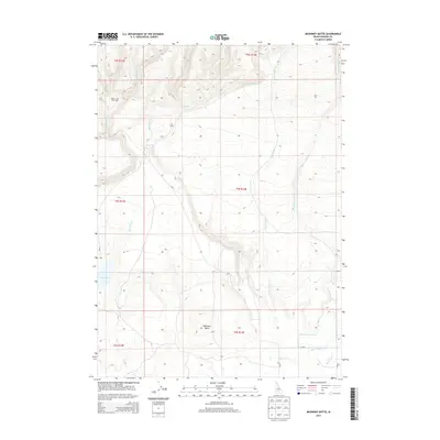
2013 Map of McKinney Butte
USGS Topo · Published 2013About this map
McKinney Butte rises above the high-desert landscape of Gooding County in this 2013 survey, which reveals the intricate drainage patterns and irrigation systems of the Magic Valley region. The map details a network of ephemeral watercourses including Coyote Cr, Fourmile Cr, and Black Canyon Cr that carve into the terrain. Human presence is marked by isolated landmarks such as Hole-In-The-Wall Cabin and Crist Cabin, which provide specific points of interest for local historians and researchers. Toward the southern end of the quadrangle, the transition from open range to managed water becomes evident with the appearance of the Bostrum Canal, Robertson Ditch, and Dog Cr Drain. These features, along with Bray Lake, illustrate the complex management of water resources in this part of Idaho.
Find a feature on this map
22 named features on this map. Tap any name to fly to it.
Don’t see what you’re looking for? This feature index may not catch every label — zoom into the map to look around manually.
Map Details
Editions of this 2013 McKinney Butte Map
This is the sole edition of this map. No revisions or reprints were ever made.
Other maps of this area
1949 · Bliss
USGS Topo · 1:24,000
1949 · Gooding Butte
USGS Topo · 1:24,000
1950 · Gooding Butte
USGS Topo · 1:24,000
1950 · Bliss
USGS Topo · 1:24,000
1955 · Twin Falls
USGS Topo · 1:250,000
1955 · Hailey
USGS Topo · 1:250,000
1957 · Thorn Creek SW
USGS Topo · 1:24,000
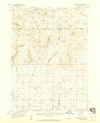
1957 · Thorn Creek
USGS Topo · 1:62,500
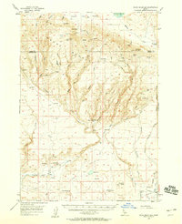
1957 · Davis Mountain
USGS Topo · 1:62,500
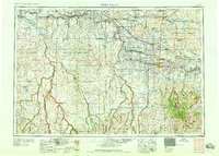
1958 · Twin Falls
USGS Topo · 1:250,000