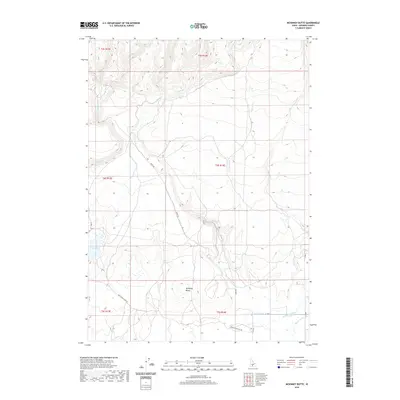
2020 Map of McKinney Butte
USGS Topo · Published 2020About this map
McKinney Butte rises above the sagebrush and volcanic landscape of Gooding County in this recent topographical study. The area is defined by a complex network of seasonal drainages and man-made irrigation infrastructure that supports the region's agricultural economy. Prominent water features include Bray Lake and a series of managed waterways such as the Chastain Canal, Robertson Ditch, and Dog Cr Drain. These features highlight the transformation of the Idaho desert through systematic water management, seen here in the southern portion of the map.
Find a feature on this map
21 named features on this map. Tap any name to fly to it.
Don’t see what you’re looking for? This feature index may not catch every label — zoom into the map to look around manually.
Map Details
Editions of this 2020 McKinney Butte Map
This is the sole edition of this map. No revisions or reprints were ever made.
Other maps of this area

1949 · Bliss
USGS Topo · 1:24,000

1949 · Gooding Butte
USGS Topo · 1:24,000

1950 · Gooding Butte
USGS Topo · 1:24,000

1950 · Bliss
USGS Topo · 1:24,000

1955 · Twin Falls
USGS Topo · 1:250,000

1955 · Hailey
USGS Topo · 1:250,000

1957 · Thorn Creek SW
USGS Topo · 1:24,000

1957 · Thorn Creek
USGS Topo · 1:62,500

1957 · Davis Mountain
USGS Topo · 1:62,500

1958 · Twin Falls
USGS Topo · 1:250,000