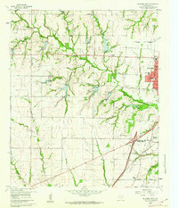
1960 Map of McKinney West
USGS Topo · Published 1962About this map
The western edges of Mc Kinney and the rural Collin County landscape are documented here just as suburban expansion began to reach north from Dallas. This 1960 field check captures a network of family-named cemeteries and rural institutions, such as Walnut Grove Cem and Walnut Grove Ch, scattered across the rolling terrain between Wilson Creek and Rowlett Creek. The presence of the Buckner (Site) and the Collins Radio Experimental Sta reflects a period of transition, where legacy agricultural settlements were giving way to scientific and industrial research facilities.
Find a feature on this map
40 named features on this map. Tap any name to fly to it.
Don’t see what you’re looking for? This feature index may not catch every label — zoom into the map to look around manually.
Map Details
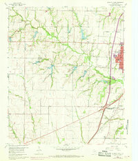
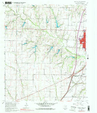
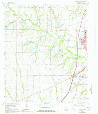
Editions of this 1960 McKinney West Map
4 editions found
Other maps of this area

1924 · Mc Kinney 4-d
USGS Topo · 1:48,000

1929 · Frisco
USGS Topo · 1:62,500

1929 · McKinney
USGS Topo · 1:62,500

1954 · Sherman
USGS Topo · 1:250,000

1958 · Sherman
USGS Topo · 1:250,000

1959 · Wylie
USGS Topo · 1:24,000

1960 · Frisco
USGS Topo · 1:24,000

1960 · McKinney East
USGS Topo · 1:24,000

1960 · Celina
USGS Topo · 1:24,000

1960 · Plano
USGS Topo · 1:24,000