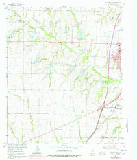
1960 Map of McKinney West
USGS Topo · Published 1978About this map
McKinney anchors this Collin County survey, showing the city’s western expansion toward the rural landscapes of Bloomdale and Fairview. The transition from urban center to agricultural outskirts is marked by numerous family burial grounds and country landmarks, including Williams Cem and Walnut Grove Ch. The presence of the Buckner (Site) identifies the former county seat, once a significant local hub before the regional center shifted to McKinney.
Find a feature on this map
37 named features on this map. Tap any name to fly to it.
Don’t see what you’re looking for? This feature index may not catch every label — zoom into the map to look around manually.
Map Details
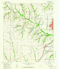
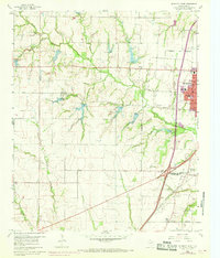
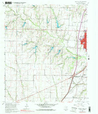
Editions of this 1960 McKinney West Map
4 editions found
Other maps of this area

1924 · Mc Kinney 4-d
USGS Topo · 1:48,000

1929 · Frisco
USGS Topo · 1:62,500

1929 · McKinney
USGS Topo · 1:62,500

1954 · Sherman
USGS Topo · 1:250,000

1958 · Sherman
USGS Topo · 1:250,000

1959 · Wylie
USGS Topo · 1:24,000

1960 · Frisco
USGS Topo · 1:24,000

1960 · McKinney East
USGS Topo · 1:24,000

1960 · Celina
USGS Topo · 1:24,000

1960 · Plano
USGS Topo · 1:24,000