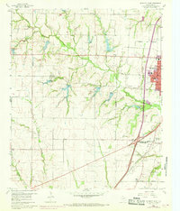
1960 Map of McKinney West
USGS Topo · Published 1969About this map
McKinney serves as the focal point for this Collin County landscape, captured just before significant suburban expansion. The western edge of the city features West Ward Sch, High Sch, and the Collins Memorial Hospital, while the surrounding countryside remains largely agricultural. A network of rural cemeteries, including Walnut Grove Cem, Hunt Cem, and Williams Cem, indicates the deeper lineage of families settled in this part of North Texas.
Find a feature on this map
35 named features on this map. Tap any name to fly to it.
Don’t see what you’re looking for? This feature index may not catch every label — zoom into the map to look around manually.
Map Details
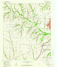
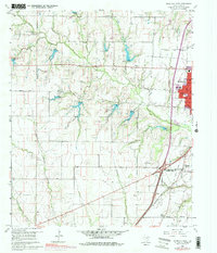
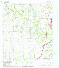
Editions of this 1960 McKinney West Map
4 editions found
Other maps of this area

1924 · Mc Kinney 4-d
USGS Topo · 1:48,000

1929 · Frisco
USGS Topo · 1:62,500

1929 · McKinney
USGS Topo · 1:62,500

1954 · Sherman
USGS Topo · 1:250,000

1958 · Sherman
USGS Topo · 1:250,000

1959 · Wylie
USGS Topo · 1:24,000

1960 · Frisco
USGS Topo · 1:24,000

1960 · McKinney East
USGS Topo · 1:24,000

1960 · Celina
USGS Topo · 1:24,000

1960 · Plano
USGS Topo · 1:24,000