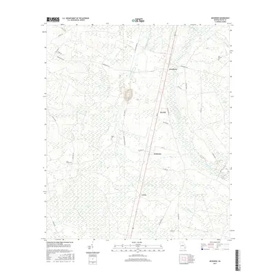
2017 Map of McKinnon
USGS Topo · Published 2017About this map
Broadhurst and the adjacent settlement of Sun Hill anchor this portion of Wayne County, where the landscape is defined by the winding course of Little Penholoway Creek. The terrain is characterized by intricate water systems and wetlands, including the expansive Cypress Swamp and the distinct depression of Piney Bay to the east. Transportation through the area follows established corridors like Broadhurst Rd W and Old Hortense Rd, which connect small communities such as McKinnon and O Neal. Local history is preserved in several small burial grounds scattered across the quadrangle, notably the Old German Cem near the northern edge and Rogers Cem further south. The map provides a detailed view of the rural Georgia coastal plain, where timber and land management are evidenced by names like Firetower Rd and the network of logging and service roads threading through the marshlands.
Find a feature on this map
38 named features on this map. Tap any name to fly to it.
Don’t see what you’re looking for? This feature index may not catch every label — zoom into the map to look around manually.
Map Details
Editions of this 2017 McKinnon Map
This is the sole edition of this map. No revisions or reprints were ever made.
Other maps of this area
1918 · Jesup
USGS Topo · 1:62,500
1918 · Hortense
USGS Topo · 1:62,500
1943 · Jesup
USGS Topo · 1:62,500
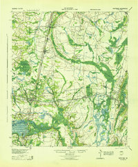
1944 · Hortense
USGS Topo · 1:62,500
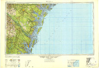
1946 · Brunswick
USGS Topo · 1:250,000
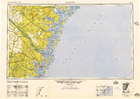
1948 · Brunswick
USGS Topo · 1:250,000
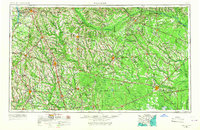
1953 · Waycross
USGS Topo · 1:250,000
1956 · Brunswick
USGS Topo · 1:250,000
1958 · Waycross
USGS Topo · 1:250,000
1961 · Brunswick
USGS Topo · 1:250,000