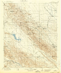
1912 Map of McKittrick
USGS Topo · Published 1943About this map
The Temblor Range and Caliente Range dominate this early 20th-century landscape, a region defined by the convergence of the San Joaquin Valley and the Elkhorn Plain. At this time, the area was a hub of nascent industrial activity and cattle ranching, marked by the arrival of the Southern Pacific RR and Sunset RR. These rail lines served burgeoning oil and ranching communities like McKittrick, Fellows, and Midland P.O., while the presence of the Buttonwillow School indicates a growing permanent population in the valley floor.
Find a feature on this map
61 named features on this map. Tap any name to fly to it.
Don’t see what you’re looking for? This feature index may not catch every label — zoom into the map to look around manually.
Map Details
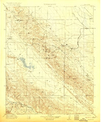
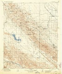
Editions of this 1912 McKittrick Map
4 editions found
Other maps of this area

1902 · Santa Ynez
USGS Topo · 1:125,000

1903 · Mt. Pinos
USGS Topo · 1:125,000

1905 · Santa Ynez
USGS Topo · 1:125,000

1905 · Lompoc
USGS Topo · 1:125,000

1910 · Buena Vista Lake
USGS Topo · 1:125,000

1912 · McKittrick
USGS Topo · 1:125,000

1912 · Buena Vista Lake
USGS Topo · 1:125,000

1914 · Lost Hills
USGS Topo · 1:125,000

1914 · Cholame
USGS Topo · 1:125,000

1915 · Cholame
USGS Topo · 1:125,000