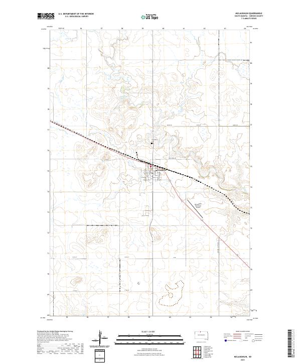
2021 Map of McLaughlin
USGS Topo · Published 2021About this map
The city of McLaughlin serves as the central hub of this prairie landscape in Corson County, established at the intersection of local transport routes and regional section lines. The topography is defined by the winding course of Oak Cr, which carves a drainage through the northern half of the quadrangle. North of the town center, the Protestant Cem sits along the road network, providing a specific point of interest for genealogists tracing families in this part of South Dakota.
Find a feature on this map
16 named features on this map. Tap any name to fly to it.
Don’t see what you’re looking for? This feature index may not catch every label — zoom into the map to look around manually.
Map Details
Editions of this 2021 McLaughlin Map
This is the sole edition of this map. No revisions or reprints were ever made.
Other maps of this area

1953 · McIntosh
USGS Topo · 1:250,000

1956 · Wakpala NW
USGS Topo · 1:24,000

1956 · Little Eagle
USGS Topo · 1:24,000

1956 · Little Eagle NW
USGS Topo · 1:24,000

1958 · McIntosh
USGS Topo · 1:250,000

1966 · McLaughlin
USGS Topo · 1:24,000

1966 · McLaughlin NE
USGS Topo · 1:24,000

1966 · Mahto
USGS Topo · 1:24,000

1966 · Mahto NW
USGS Topo · 1:24,000

1971 · McLaughlin SW
USGS Topo · 1:24,000