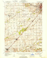
1981 Map of McLean
USGS Topo · Published 1981About this map
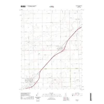
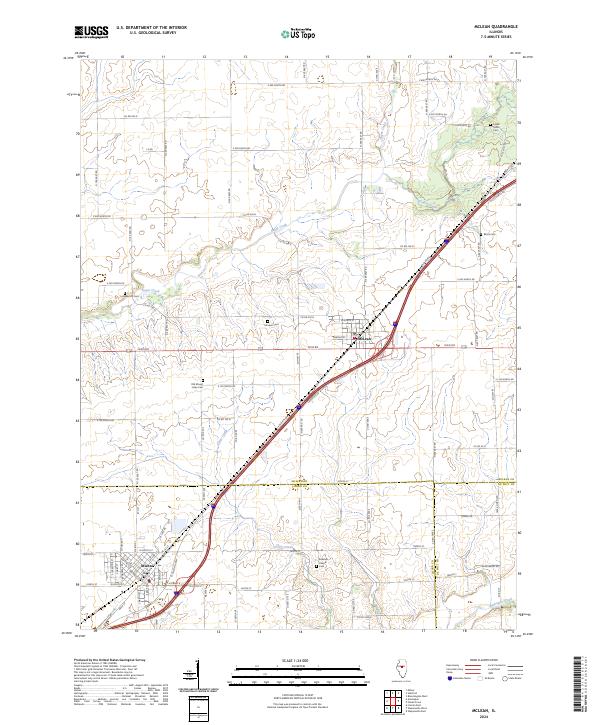
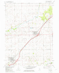
McLean and Atlanta serve as the primary hubs in this Central Illinois landscape, situated along the corridor of the Illinois Central Gulf railroad. This 1981 edition documents the rural character of Mount Hope and Waynesville townships during a period of transition as modern infrastructure intersected with historic farmstead markers. The map details a high concentration of pioneer-era burial sites and rural congregations, including Funks Grove Ch, Ebenezer Ch, and family-named landmarks like Roach Cem and Longworth Cem.
Find a feature on this map
23 named features on this map. Tap any name to fly to it.
Don’t see what you’re looking for? This feature index may not catch every label — zoom into the map to look around manually.
Map Details
Editions of this 1981 McLean Map
This is the sole edition of this map. No revisions or reprints were ever made.
Historical Maps of Atlanta Through Time
7 maps found