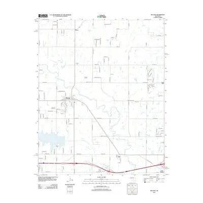
2012 Map of McLoud
USGS Topo · Published 2012About this map
The North Canadian River winds through this central Oklahoma landscape, defining the geography around McLoud and the neighboring settlements of Dale and Midway. The area is notably dense with community markers, particularly its numerous burial grounds such as Kickapoo Cem, Saint Johns Lutheran Cem, and the Abrams Cem. These sites, alongside family-named landmarks like Bullard Spring and Doddehl Spring, provide significant touchpoints for genealogical research and local history.
Find a feature on this map
120 named features on this map. Tap any name to fly to it.
Don’t see what you’re looking for? This feature index may not catch every label — zoom into the map to look around manually.
Map Details
Editions of this 2012 McLoud Map
This is the sole edition of this map. No revisions or reprints were ever made.
Other maps of this area

1896 · Seminole and Prague
USGS Topo · 1:125,000

1898 · Purcell
USGS Topo · 1:125,000

1905 · Chandler
USGS Topo · 1:62,500

1907 · Chandler
USGS Topo · 1:62,500

1909 · Shawnee
USGS Topo · 1:62,500

1909 · Luther
USGS Topo · 1:62,500

1930 · McLoud
USGS Topo · 1:62,500

1954 · Oklahoma City
USGS Topo · 1:250,000

1956 · Harrah
USGS Topo · 1:24,000

1956 · Horseshoe Lake
USGS Topo · 1:24,000