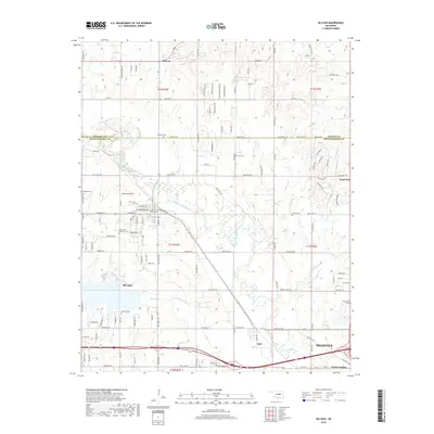
2018 Map of McLoud
USGS Topo · Published 2018About this map
The North Canadian River winds across this section of central Oklahoma, carving a wide valley through the landscape where McLoud and Dale serve as primary hubs. This area at the border of Lincoln and Pottawatomie counties reveals a pattern of dispersed rural communities and small family-named locales such as Midway and Hazel Dell. The prevalence of small cemeteries, including the Kickapoo Cem and Saint Johns Lutheran Cem, suggests a deeply rooted local history tied to early land allotments and church-centered settlements. Transportation remains a defining feature, with the path of the river mirrored by local routes and the growth of Shawnee appearing at the southern edge. The map also captures several natural water sources like Doddahl Spring and Bullard Spring, which likely served as critical points for early residents in this creek-veined territory.
Find a feature on this map
126 named features on this map. Tap any name to fly to it.
Don’t see what you’re looking for? This feature index may not catch every label — zoom into the map to look around manually.
Map Details
Editions of this 2018 McLoud Map
This is the sole edition of this map. No revisions or reprints were ever made.
Other maps of this area

1896 · Seminole and Prague
USGS Topo · 1:125,000

1898 · Purcell
USGS Topo · 1:125,000

1905 · Chandler
USGS Topo · 1:62,500

1907 · Chandler
USGS Topo · 1:62,500

1909 · Shawnee
USGS Topo · 1:62,500

1909 · Luther
USGS Topo · 1:62,500

1930 · McLoud
USGS Topo · 1:62,500

1954 · Oklahoma City
USGS Topo · 1:250,000

1956 · Harrah
USGS Topo · 1:24,000

1956 · Horseshoe Lake
USGS Topo · 1:24,000