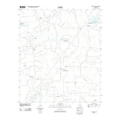
2010 Map of McMahan
USGS Topo · Published 2010About this map
The Branyon Oil Field and Tenney Creek Oil Field define the industrial character of this central Texas landscape, where small crossroads communities are linked by farm-to-market roads and historic trails. Rural life is anchored by family and community heritage, evidenced by several burial grounds including Clark Chapel Cemetery and Dickerson Cemetery. The hydrology is dominated by the meandering course of Plum Creek, which is fed by numerous tributaries such as Linscombe Creek and Daniels Creek.
Find a feature on this map
65 named features on this map. Tap any name to fly to it.
Don’t see what you’re looking for? This feature index may not catch every label — zoom into the map to look around manually.
Map Details
Editions of this 2010 McMahan Map
This is the sole edition of this map. No revisions or reprints were ever made.
Other maps of this area

1901 · Flatonia
USGS Topo · 1:125,000

1911 · San Marcos
USGS Topo · 1:125,000

1919 · San Marcos
USGS Topo · 1:125,000

1925 · San Marcos 1-d
USGS Topo · 1:48,000

1925 · San Marcos 4-a
USGS Topo · 1:48,000

1929 · Luling
USGS Topo · 1:62,500

1930 · Lockhart
USGS Topo · 1:62,500

1953 · Seguin
USGS Topo · 1:250,000

1958 · Seguin
USGS Topo · 1:250,000

1963 · Lockhart North
USGS Topo · 1:24,000