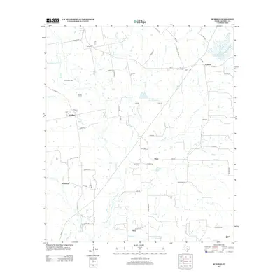
2013 Map of McMahan
USGS Topo · Published 2013About this map
McMahan and its surrounding rural communities in Caldwell County are defined by a complex network of creeks and drainage basins. The landscape is dominated by the upper reaches of Plum Cr and its many tributaries, including Sixmile Br and Tenney Cr. Evidence of the region's agricultural and resource management history is visible in several reservoir sites, such as Soil Conservation Service Site 27 Reservoir, and the concentration of petroleum activity at the Branyon Oil Field and Tenney Creek Oil Field.
Find a feature on this map
73 named features on this map. Tap any name to fly to it.
Don’t see what you’re looking for? This feature index may not catch every label — zoom into the map to look around manually.
Map Details
Editions of this 2013 McMahan Map
This is the sole edition of this map. No revisions or reprints were ever made.
Other maps of this area

1901 · Flatonia
USGS Topo · 1:125,000

1911 · San Marcos
USGS Topo · 1:125,000

1919 · San Marcos
USGS Topo · 1:125,000

1925 · San Marcos 1-d
USGS Topo · 1:48,000

1925 · San Marcos 4-a
USGS Topo · 1:48,000

1929 · Luling
USGS Topo · 1:62,500

1930 · Lockhart
USGS Topo · 1:62,500

1953 · Seguin
USGS Topo · 1:250,000

1958 · Seguin
USGS Topo · 1:250,000

1963 · Lockhart North
USGS Topo · 1:24,000