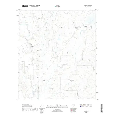
2019 Map of McMahan
USGS Topo · Published 2019About this map
McMahan and the surrounding rural landscape of Caldwell County are defined by a network of creeks and numerous historic family and community burial grounds. This 2019 survey documents the settlement patterns of Seawillow, Tilmon, and Brownsboro, where small communities are linked by farm-to-market roads and county lanes. The terrain is marked by significant watercourses including Tenney Cr and Plum Creek, which drain the low-lying elevations of Comanche Flats. Genealogists will find the locations of several distinct cemeteries, such as Clark Chapel Cem, Fleming Memorial Cem, Jefrey Cem, and Hardshell Cem, highlighting the area's long-standing residential history. The topography remains largely agricultural and rural, with physical features like Round Mtn and the Soil Conservation Service Site 23 Reservoir providing local landmarks within this central Texas countryside.
Find a feature on this map
68 named features on this map. Tap any name to fly to it.
Don’t see what you’re looking for? This feature index may not catch every label — zoom into the map to look around manually.
Map Details
Editions of this 2019 McMahan Map
This is the sole edition of this map. No revisions or reprints were ever made.
Other maps of this area

1901 · Flatonia
USGS Topo · 1:125,000

1911 · San Marcos
USGS Topo · 1:125,000

1919 · San Marcos
USGS Topo · 1:125,000

1925 · San Marcos 1-d
USGS Topo · 1:48,000

1925 · San Marcos 4-a
USGS Topo · 1:48,000

1929 · Luling
USGS Topo · 1:62,500

1930 · Lockhart
USGS Topo · 1:62,500

1953 · Seguin
USGS Topo · 1:250,000

1958 · Seguin
USGS Topo · 1:250,000

1963 · Lockhart North
USGS Topo · 1:24,000