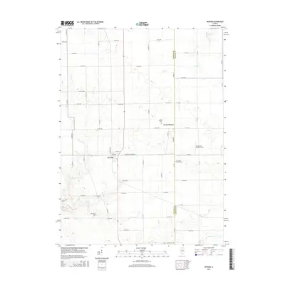
2015 Map of McNabb
USGS Topo · Published 2015About this map
The agricultural landscape of the Illinois River valley uplands is defined by the village of McNabb and the settlement at Mount Palatine. Located along the border of Putnam and LaSalle counties, this area maintains a distinct rural character centered on cross-road communities and family-named infrastructure. Local history is deeply rooted in the land, as evidenced by several historic burial grounds including Friends Cem, Mount Palatine Cem, and the uniquely named Boyle-Price Valley Cem.
Find a feature on this map
49 named features on this map. Tap any name to fly to it.
Don’t see what you’re looking for? This feature index may not catch every label — zoom into the map to look around manually.
Map Details
Editions of this 2015 McNabb Map
This is the sole edition of this map. No revisions or reprints were ever made.
Other maps of this area

1893 · Lacon
USGS Topo · 1:62,500

1893 · Hennepin
USGS Topo · 1:62,500

1893 · Lasalle
USGS Topo · 1:62,500

1909 · Hennepin
USGS Topo · 1:62,500

1911 · La Salle
USGS Topo · 1:62,500

1911 · Hennepin
USGS Topo · 1:62,500

1913 · La Salle
USGS Topo · 1:62,500

1933 · Lacon
USGS Topo · 1:62,500

1934 · Wenona
USGS Topo · 1:48,000

1937 · Lacon
USGS Topo · 1:62,500