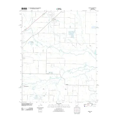
2011 Map of McRae
USGS Topo · Published 2011About this map
The town of McRae anchors the northern portion of this landscape, where the local street grid transitions into a network of rural roads and winding waterways. The terrain is defined by a complex drainage system where Bull Creek, Long Creek, and Dry Branch converge toward the larger Cypress Bayou to the south. This hydrological pattern has historically shaped land use in White County, as evidenced by the distribution of small settlements and family-named landmarks away from the immediate floodplains.
Find a feature on this map
55 named features on this map. Tap any name to fly to it.
Don’t see what you’re looking for? This feature index may not catch every label — zoom into the map to look around manually.
Map Details
Editions of this 2011 McRae Map
This is the sole edition of this map. No revisions or reprints were ever made.
Other maps of this area

1932 · Kensett
USGS Topo · 1:62,500

1935 · Kensett
USGS Topo · 1:62,500

1935 · Hazen
USGS Topo · 1:62,500

1940 · Lonoke
USGS Topo · 1:62,500

1941 · Hazen
USGS Topo · 1:62,500

1948 · Helena
USGS Topo · 1:250,000

1949 · Lonoke
USGS Topo · 1:62,500

1950 · Helena
USGS Topo · 1:250,000

1950 · Lonoke
USGS Topo · 1:62,500

1953 · Memphis
USGS Topo · 1:250,000