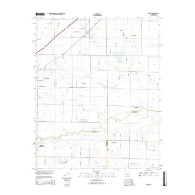
2014 Map of McRae
USGS Topo · Published 2014About this map
Cypress Bayou meanders along the boundary of White, Lonoke, and Prairie Counties, defining the drainage of this central Arkansas landscape. The settlement of McRae sits at a transportation nexus, while the eastern edge of Beebe shows the transition from town residential blocks to the agricultural outskirts. The map identifies several family-named burial sites, including Cheek Cem, Bryles Cem, and Bass Cem, which serve as vital markers for local genealogical research. Water features dominate the lowlands, from the larger Cane Creek Lake to smaller bodies like White Lake and Cobb Lake. Local transit is represented by a network of rural routes such as Wagon Train Rd and Campground Rd, reflecting the area's development pattern of scattered farmsteads and small subdivisions like Young Subdivision.
Find a feature on this map
122 named features on this map. Tap any name to fly to it.
Don’t see what you’re looking for? This feature index may not catch every label — zoom into the map to look around manually.
Map Details
Editions of this 2014 McRae Map
This is the sole edition of this map. No revisions or reprints were ever made.
Other maps of this area

1932 · Kensett
USGS Topo · 1:62,500

1935 · Kensett
USGS Topo · 1:62,500

1935 · Hazen
USGS Topo · 1:62,500

1940 · Lonoke
USGS Topo · 1:62,500

1941 · Hazen
USGS Topo · 1:62,500

1948 · Helena
USGS Topo · 1:250,000

1949 · Lonoke
USGS Topo · 1:62,500

1950 · Helena
USGS Topo · 1:250,000

1950 · Lonoke
USGS Topo · 1:62,500

1953 · Memphis
USGS Topo · 1:250,000