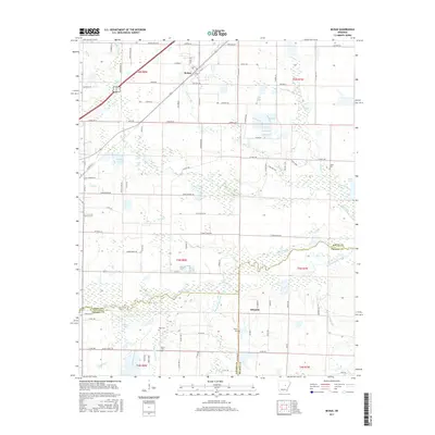
2017 Map of McRae
USGS Topo · Published 2017About this map
McRae sits near the northern boundary of this White County landscape, where the terrain begins to transition into the lowlands of the Cypress Bayou watershed. This 2017 survey details a region defined by its complex drainage network, where numerous creeks like Bull Creek and Pigeon Roost Cr wind through the countryside. The southern portion of the map is particularly water-rich, featuring White Lake and the smaller Cobb Lake, alongside several family cemeteries such as Bass Cem and Green Cem that serve as vital markers for local genealogical research. In the southeast, the settlement of Edwards is situated near the Lonoke and Prairie County line. The map illustrates a developed rural road system including Wagon Train Rd and W Vinity Rd, which connect the scattered farms and homesteads across this part of central Arkansas.
Find a feature on this map
69 named features on this map. Tap any name to fly to it.
Don’t see what you’re looking for? This feature index may not catch every label — zoom into the map to look around manually.
Map Details
Editions of this 2017 McRae Map
This is the sole edition of this map. No revisions or reprints were ever made.
Other maps of this area

1932 · Kensett
USGS Topo · 1:62,500

1935 · Kensett
USGS Topo · 1:62,500

1935 · Hazen
USGS Topo · 1:62,500

1940 · Lonoke
USGS Topo · 1:62,500

1941 · Hazen
USGS Topo · 1:62,500

1948 · Helena
USGS Topo · 1:250,000

1949 · Lonoke
USGS Topo · 1:62,500

1950 · Helena
USGS Topo · 1:250,000

1950 · Lonoke
USGS Topo · 1:62,500

1953 · Memphis
USGS Topo · 1:250,000