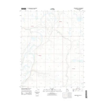
2015 Map of Meade River A-2 SW
USGS Topo · Published 2015About this map
Meade River dominates this Arctic landscape as it meanders through the North Slope, revealing the complex hydrologic patterns of the tundra. The river's winding course is characterized by dramatic oxbow bends and abandoned channels, typical of this permafrost-underlain region. Two significant tributaries, Pisiksagiavik Cr and Piksiksak Cr, feed into the drainage system, their courses reflecting the subtle topographic shifts of the coastal plain. The survey provides a precise record of the shoreline and waterway positions as they existed in the early 21st century, a period of notable environmental focus in the Alaskan Arctic. This map serves as an essential reference for understanding the shifting physical geography and water resources within the t9n r21w and t9n r20w townships of the North Slope Borough.
Find a feature on this map
7 named features on this map. Tap any name to fly to it.
Don’t see what you’re looking for? This feature index may not catch every label — zoom into the map to look around manually.
Map Details
Editions of this 2015 Meade River A-2 SW Map
This is the sole edition of this map. No revisions or reprints were ever made.
Other maps of this area

1951 · Meade River
USGS Topo · 1:250,000

1951 · Lookout Ridge
USGS Topo · 1:250,000

1955 · Meade River
USGS Topo · 1:250,000

1955 · Meade River A-3
USGS Topo · 1:63,360

1955 · Meade River A-2
USGS Topo · 1:63,360

1956 · Lookout Ridge
USGS Topo · 1:250,000
1984 · Lookout Ridge D-2
USGS Topo · 1:63,360

1984 · Lookout Ridge D-3
USGS Topo · 1:63,360
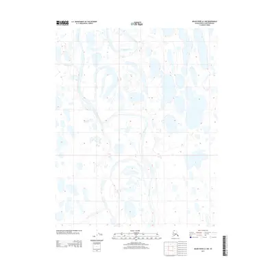
2013 · Meade River A-2 NW
USGS Topo · 1:25,000
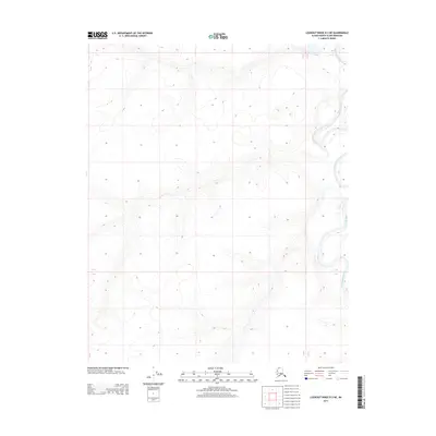
2013 · Lookout Ridge D-3 NE
USGS Topo · 1:25,000