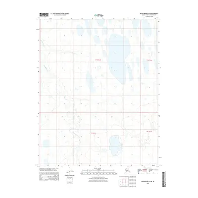
2014 Map of Meade River A-4 NE
USGS Topo · Published 2014About this map
The Nigisakttuvik River meanders across this northern landscape, defining the hydrology of the North Slope in a region dominated by glacial lakes and tundra wetlands. Mapping conducted by the U.S. Geological Survey and the Alaska Dept. of Transportation reveals an environment where water bodies dictate the movement and settlement patterns of the Arctic. In the northeastern corner, the headwaters of Kukak Cr drain toward the coast, while the broader river system to the west illustrates the complex drainage network of the Arctic coastal plain. This 2014 survey serves as a modern record of the shifting shorelines and permafrost-influenced terrain, capturing the area within the bounds of the Bureau of Land Management public land survey system including t10n r24w and t9n r24w.
Find a feature on this map
6 named features on this map. Tap any name to fly to it.
Don’t see what you’re looking for? This feature index may not catch every label — zoom into the map to look around manually.
Map Details
Editions of this 2014 Meade River A-4 NE Map
This is the sole edition of this map. No revisions or reprints were ever made.
Other maps of this area

1951 · Meade River
USGS Topo · 1:250,000

1955 · Meade River
USGS Topo · 1:250,000

1955 · Meade River A-3
USGS Topo · 1:63,360

1955 · Meade River B-3
USGS Topo · 1:63,360
1955 · Meade River A-4
USGS Topo · 1:63,360

1955 · Meade River B-4
USGS Topo · 1:63,360
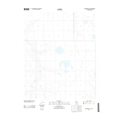
2013 · Meade River A-3 SW
USGS Topo · 1:25,000
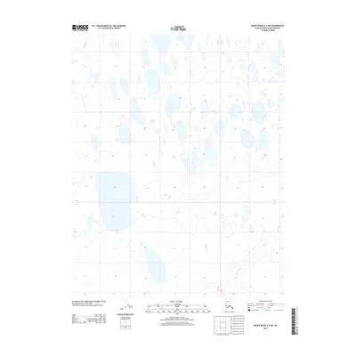
2013 · Meade River A-3 NW
USGS Topo · 1:25,000
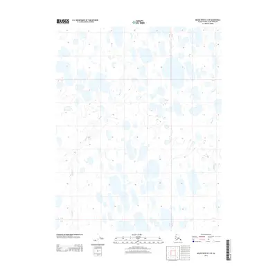
2013 · Meade River B-3 SW
USGS Topo · 1:25,000
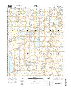
2014 · Meade River B-4 SW
USGS Topo · 1:25,000