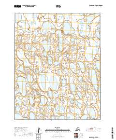
2020 Map of Meade River B-1 NE
USGS Topo · Published 2020About this map
The Arctic coastal plain of the North Slope appears as a saturated landscape of oriented thaw lakes and complex wetlands in this 2020 survey. Located within the Public Land Survey System designations of T13n R17w and T13n R16w, the area is characterized by an absence of named surface features or human infrastructure. The map depicts a mosaic of water bodies and marshland typical of the Meade River region, where the terrain is governed by permafrost processes and seasonal drainage patterns. While this specific quadrangle contains no named settlements or roads, it provides a precise record of the hydrological network and township boundaries, including T12n R17w and T12n R16w, as they existed in the early twenty-first century.
Find a feature on this map
4 named features on this map. Tap any name to fly to it.
Don’t see what you’re looking for? This feature index may not catch every label — zoom into the map to look around manually.
Map Details
Editions of this 2020 Meade River B-1 NE Map
This is the sole edition of this map. No revisions or reprints were ever made.
Other maps of this area

1951 · Meade River
USGS Topo · 1:250,000

1951 · Teshekpuk
USGS Topo · 1:250,000

1955 · Teshekpuk
USGS Topo · 1:250,000

1955 · Teshekpuk C-5
USGS Topo · 1:63,360
1955 · Teshekpuk B-5
USGS Topo · 1:63,360

1955 · Meade River
USGS Topo · 1:250,000

1955 · Meade River B-1
USGS Topo · 1:63,360

1955 · Meade River C-1
USGS Topo · 1:63,360

1964 · Teshekpuk
USGS Topo · 1:250,000
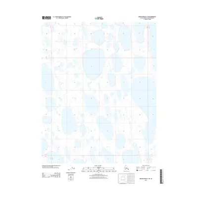
2013 · Meade River B-1 SW
USGS Topo · 1:25,000