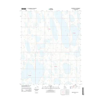
2015 Map of Meade River B-2 NE
USGS Topo · Published 2015About this map
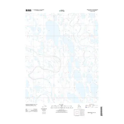
Vast stretches of the Arctic coastal plain dominate this 2015 survey of the North Slope, where the landscape is defined by a dense mosaic of thaw lakes and ponds. The map outlines the Public Land Survey System grids for T13n R19w, T13n R18w, T12n R19w, and T12n R20w, providing a framework for a region with no established roads or permanent settlements. This area is characterized by low-relief terrain where subtle elevation changes of only ten feet dictate the intricate drainage patterns. The lack of named features or human infrastructure highlights the extreme isolation of this portion of Alaska, where the hydrology remains the most significant geographic factor for researchers and environmental historians.
Find a feature on this map
4 named features on this map. Tap any name to fly to it.
Don’t see what you’re looking for? This feature index may not catch every label — zoom into the map to look around manually.
Map Details
Editions of this 2015 Meade River B-2 NE Map
This is the sole edition of this map. No revisions or reprints were ever made.
Other maps of this area

1951 · Meade River
USGS Topo · 1:250,000

1955 · Meade River
USGS Topo · 1:250,000

1955 · Meade River B-1
USGS Topo · 1:63,360

1955 · Meade River B-2
USGS Topo · 1:63,360

1955 · Meade River C-1
USGS Topo · 1:63,360
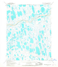
1955 · Meade River C-2
USGS Topo · 1:63,360
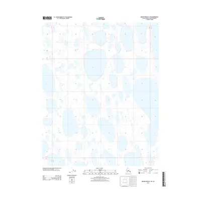
2013 · Meade River B-1 SW
USGS Topo · 1:25,000
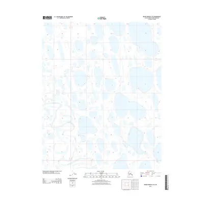
2013 · Meade River B-2 SE
USGS Topo · 1:25,000
2013 · Meade River B-2 SW
USGS Topo · 1:25,000
2015 · Meade River C-1 SW
USGS Topo · 1:25,000