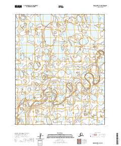
2020 Map of Meade River B-4 NE
USGS Topo · Published 2020About this map
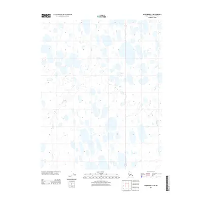
The Nigisaktuvik River meanders across this Arctic landscape, creating a complex network of oxbows and water bodies characteristic of the North Slope. This 2020 U.S. Geological Survey topographic study illustrates the intricate hydrology of the region, where the river's path is the primary geographical anchor within the surveyed boundaries of t13n r24w and t12n r24w. The map provides a high-resolution view of the thaw lakes and wetland patterns that dominate this sub-Arctic terrain. Without established settlements or roads, the documentation focuses on the natural drainage and the precise public land survey system divisions including t13n r23w and t12n r23w, which help orient researchers within the vast, open tundra of the Meade River quadrangle.
Find a feature on this map
5 named features on this map. Tap any name to fly to it.
Don’t see what you’re looking for? This feature index may not catch every label — zoom into the map to look around manually.
Map Details
Editions of this 2020 Meade River B-4 NE Map
This is the sole edition of this map. No revisions or reprints were ever made.
Other maps of this area

1951 · Meade River
USGS Topo · 1:250,000

1955 · Meade River
USGS Topo · 1:250,000

1955 · Meade River B-3
USGS Topo · 1:63,360

1955 · Meade River C-3
USGS Topo · 1:63,360

1955 · Meade River B-4
USGS Topo · 1:63,360

1955 · Meade River C-4
USGS Topo · 1:63,360
1962 · Meade River C-4
USGS Topo · 1:50,000
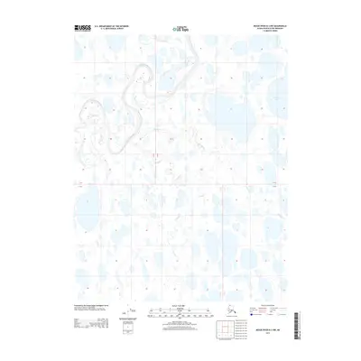
2013 · Meade River B-3 NW
USGS Topo · 1:25,000
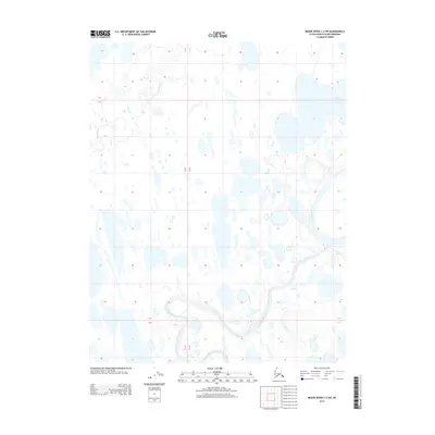
2013 · Meade River C-3 SW
USGS Topo · 1:25,000
2013 · Meade River B-3 SW
USGS Topo · 1:25,000