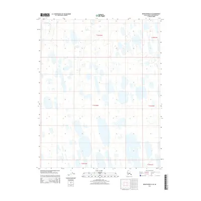
2014 Map of Meade River B-4 SE
USGS Topo · Published 2014About this map
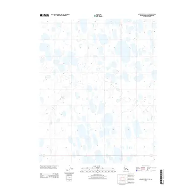
Arctic tundra and lacustrine patterns dominate this remote Alaskan landscape in the North Slope Borough. The Nigisakruak River meanders through the northern section of the quadrangle, serving as the primary drainage feature for an area defined by countless small thaw lakes and thermokarst depressions. The map illustrates the complex hydrology of the region, where water bodies of varying sizes and shapes create a fragmented land surface typical of the permafrost-underlain terrain near the Beaufort Sea coast. Surveyed across portions of townships including t11n r24w and t12n r24w, this sheet details a wilderness area devoid of permanent infrastructure or settlements, reflecting the environment as it existed in the early twenty-first century.
Find a feature on this map
7 named features on this map. Tap any name to fly to it.
Don’t see what you’re looking for? This feature index may not catch every label — zoom into the map to look around manually.
Map Details
Editions of this 2014 Meade River B-4 SE Map
This is the sole edition of this map. No revisions or reprints were ever made.
Other maps of this area

1951 · Meade River
USGS Topo · 1:250,000

1955 · Meade River
USGS Topo · 1:250,000

1955 · Meade River A-3
USGS Topo · 1:63,360

1955 · Meade River B-3
USGS Topo · 1:63,360
1955 · Meade River A-4
USGS Topo · 1:63,360

1955 · Meade River B-4
USGS Topo · 1:63,360
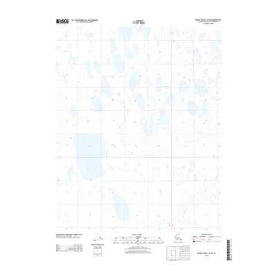
2013 · Meade River A-3 NW
USGS Topo · 1:25,000
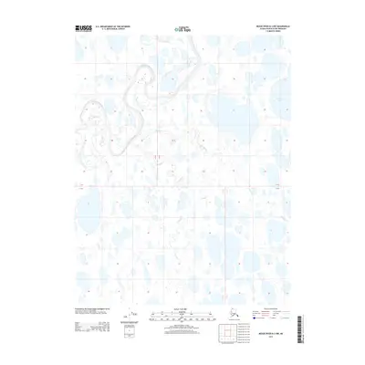
2013 · Meade River B-3 NW
USGS Topo · 1:25,000
2013 · Meade River B-3 SW
USGS Topo · 1:25,000
2014 · Meade River B-4 SW
USGS Topo · 1:25,000