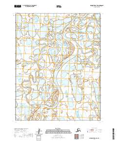
2020 Map of Meade River D-1 SW
USGS Topo · Published 2020About this map
Meade River meanders across the high Arctic landscape of the North Slope, establishing a complex hydrologic network of oxbows and riverine wetlands. This modern survey, compiled from data ranging from the 1980s through 2019, reveals the intricate drainage patterns of the Alaskan tundra within the Public Land Survey System grids of T18N through T16N. The landscape is defined by its extreme flatness and the presence of numerous thaw lakes and marshlands typical of the permafrost environment. The absence of roads or permanent settlements in this sector emphasizes the remote, undisturbed character of the river corridor as it existed in 2020. Geologists and environmental researchers can trace the shift of the Meade River channel and its impact on the surrounding wetland inventory.
Find a feature on this map
7 named features on this map. Tap any name to fly to it.
Don’t see what you’re looking for? This feature index may not catch every label — zoom into the map to look around manually.
Map Details
Editions of this 2020 Meade River D-1 SW Map
This is the sole edition of this map. No revisions or reprints were ever made.
Other maps of this area

1951 · Meade River
USGS Topo · 1:250,000

1955 · Meade River
USGS Topo · 1:250,000

1955 · Meade River C-1
USGS Topo · 1:63,360

1955 · Meade River D-2
USGS Topo · 1:63,360
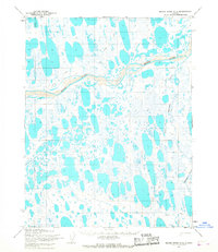
1955 · Meade River C-2
USGS Topo · 1:63,360
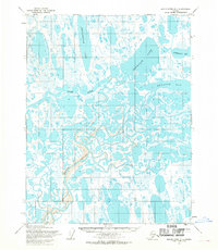
1955 · Meade River D-1
USGS Topo · 1:63,360
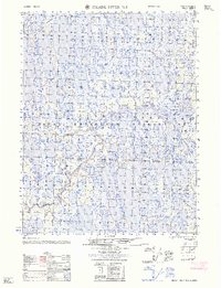
1962 · Meade River D-2
USGS Topo · 1:50,000
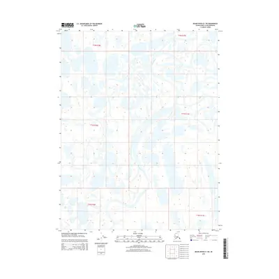
2015 · Meade River D-1 SW
USGS Topo · 1:25,000
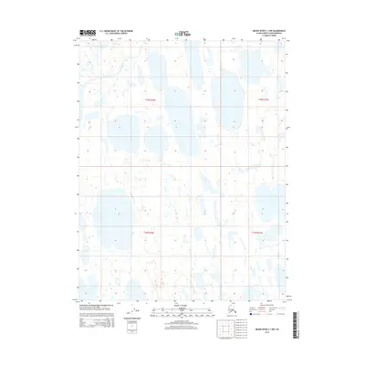
2015 · Meade River C-1 NW
USGS Topo · 1:25,000
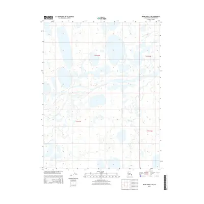
2015 · Meade River C-2 NE
USGS Topo · 1:25,000