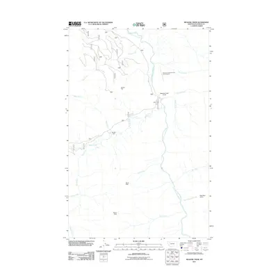
2011 Map of Meadow Creek
USGS Topo · Published 2011About this map
The South Fork Flathead River carves a central path through this Flathead County landscape, defining the topography of the region. The map highlights the Meadow Creek Gorge, a dramatic natural feature where the river narrows between elevated terrain. Nearby, the Meadow Creek-US Forest Service Airport serves as a critical access point for forest management and backcountry navigation.
Find a feature on this map
21 named features on this map. Tap any name to fly to it.
Don’t see what you’re looking for? This feature index may not catch every label — zoom into the map to look around manually.
Map Details
Editions of this 2011 Meadow Creek Map
This is the sole edition of this map. No revisions or reprints were ever made.
Other maps of this area

1936 · Silvertip
USGS Topo · 1:96,000

1942 · Silvertip
USGS Topo · 1:125,000

1955 · Choteau
USGS Topo · 1:250,000

1957 · Choteau
USGS Topo · 1:250,000

1958 · Choteau
USGS Topo · 1:250,000

1962 · Choteau
USGS Topo · 1:250,000

1965 · Sunburst Lake
USGS Topo · 1:24,000
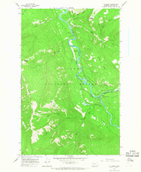
1965 · Tin Creek
USGS Topo · 1:24,000
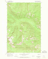
1965 · String Creek
USGS Topo · 1:24,000
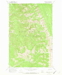
1970 · Cathedral Peak
USGS Topo · 1:24,000