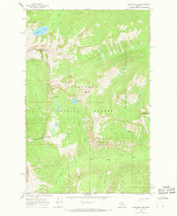
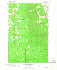
1965 Map of Sunburst Lake
USGS Topo · Published 1968About this map
Bob Marshall Wilderness and Flathead National Forest dominate this 1965 survey, depicting a high-elevation backcountry accessible only by a network of pack trails. The landscape is defined by its dramatic verticality, with prominent summits like Oreamnos Peak and Stadium Peak towering over deep drainage basins. High-alpine water bodies, including the titular Sunburst Lake and Palisade Lake, serve as the headwaters for a complex system of creeks such as Gorge Creek and Little Salmon Creek. This map captures the region's character as a roadless interior, where the primary movement through the terrain is dictated by natural gaps like Lion Creek Pass. The boundary between Flathead and Lake counties is clearly delineated as it traverses the ridgelines, marking a remote segment of the wilderness boundary.
Find a feature on this map
21 named features on this map. Tap any name to fly to it.
Don’t see what you’re looking for? This feature index may not catch every label — zoom into the map to look around manually.
Map Details
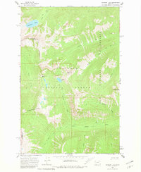
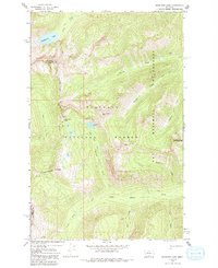
Editions of this 1965 Sunburst Lake Map
3 editions found
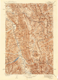
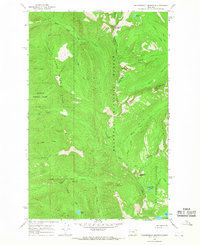
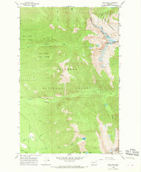
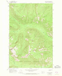
Other maps of this area

1936 · Silvertip
USGS Topo · 1:96,000
1942 · Silvertip
USGS Topo · 1:125,000

1955 · Choteau
USGS Topo · 1:250,000

1957 · Choteau
USGS Topo · 1:250,000

1958 · Choteau
USGS Topo · 1:250,000

1962 · Choteau
USGS Topo · 1:250,000
1965 · Condon
USGS Topo · 1:24,000
1965 · Thunderbolt Mountain
USGS Topo · 1:24,000
1965 · Swan Peak
USGS Topo · 1:24,000
1965 · String Creek
USGS Topo · 1:24,000