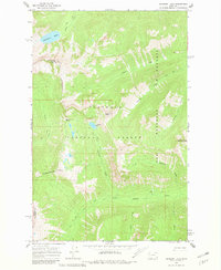
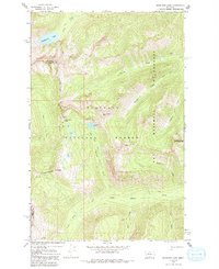
1965 Map of Sunburst Lake
USGS Topo · Published 1981About this map
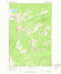
Sunburst Lake sits at the heart of this high-elevation survey, illustrating the untouched backcountry of the Flathead National Forest during the mid-1960s. The landscape is defined by the sharp divide of the Wilderness Boundary and the county line between Flathead and Lake counties. To the east, the Bob Marshall Wilderness contains a dense network of watercourses, including Trickle Creek and Stadium Creek, which flow from peaks like Oreamnos Peak and Stadium Peak. The area is accessible only by a system of Pack Trails, such as the one crossing Lion Creek Pass. This topography highlights the transition from the alpine waters of Palisade Lake to the lower drainages of Little Salmon Creek, reflecting a period focused on preserving these primitive areas for recreational and ecological value.
Find a feature on this map
25 named features on this map. Tap any name to fly to it.
Don’t see what you’re looking for? This feature index may not catch every label — zoom into the map to look around manually.
Map Details
Editions of this 1965 Sunburst Lake Map
3 editions found
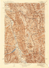
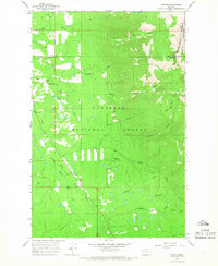
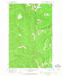
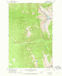
Other maps of this area

1936 · Silvertip
USGS Topo · 1:96,000
1942 · Silvertip
USGS Topo · 1:125,000

1955 · Choteau
USGS Topo · 1:250,000

1957 · Choteau
USGS Topo · 1:250,000

1958 · Choteau
USGS Topo · 1:250,000

1962 · Choteau
USGS Topo · 1:250,000
1965 · Condon
USGS Topo · 1:24,000
1965 · Sunburst Lake
USGS Topo · 1:24,000
1965 · Thunderbolt Mountain
USGS Topo · 1:24,000
1965 · Swan Peak
USGS Topo · 1:24,000