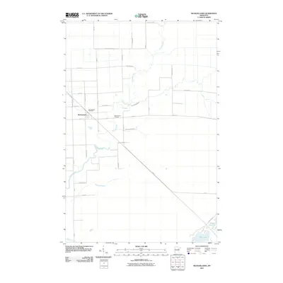
2010 Map of Meadowlands
USGS Topo · Published 2010About this map
Meadowlands sits at the heart of this landscape, positioned where the Whiteface River and Little Whiteface River converge. The settlement's infrastructure is clearly defined, including the Meadowlands Post Office and the Meadowlands Cemetery situated just to the east. The surrounding area is marked by a rigid grid of local roads and state highways, reflecting the organized land division of Saint Louis County. In the southeast, the terrain shifts from river bottomlands to the waters of Aerie Lake and the smaller Maple Leaf Lake. These water bodies, along with Spider Creek, dictate the movement of roads such as Aerie Lake RD and HWY-47. The map illustrates a rural Minnesota community where the natural paths of meandering rivers contrast sharply with the straight lines of modern transportation routes like Swedetown RD and Boy Scout RD.
Find a feature on this map
33 named features on this map. Tap any name to fly to it.
Don’t see what you’re looking for? This feature index may not catch every label — zoom into the map to look around manually.
Map Details
Editions of this 2010 Meadowlands Map
This is the sole edition of this map. No revisions or reprints were ever made.
Other maps of this area

1953 · Payne
USGS Topo · 1:24,000

1953 · Alborn
USGS Topo · 1:24,000

1953 · Brookston NW
USGS Topo · 1:24,000

1953 · Duluth
USGS Topo · 1:250,000

1954 · Hibbing
USGS Topo · 1:250,000

1957 · Hibbing
USGS Topo · 1:250,000

1958 · Hibbing
USGS Topo · 1:250,000

1958 · Duluth
USGS Topo · 1:250,000

1963 · Elmer
USGS Topo · 1:24,000

1963 · Meadowlands NW
USGS Topo · 1:24,000