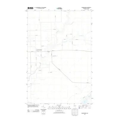
2013 Map of Meadowlands
USGS Topo · Published 2013About this map
Meadowlands serves as the central hub of this Saint Louis County landscape, where the Whiteface River and its tributary, the Little Whiteface River, wind through the low-lying terrain. The town is marked by its Po and is connected to the surrounding countryside by a grid of rural roads named for early families and local flora, such as Watsula Rd, Racek Rd, and Blue Spruce Rd.
Find a feature on this map
33 named features on this map. Tap any name to fly to it.
Don’t see what you’re looking for? This feature index may not catch every label — zoom into the map to look around manually.
Map Details
Editions of this 2013 Meadowlands Map
This is the sole edition of this map. No revisions or reprints were ever made.
Other maps of this area

1953 · Payne
USGS Topo · 1:24,000

1953 · Alborn
USGS Topo · 1:24,000

1953 · Brookston NW
USGS Topo · 1:24,000

1953 · Duluth
USGS Topo · 1:250,000

1954 · Hibbing
USGS Topo · 1:250,000

1957 · Hibbing
USGS Topo · 1:250,000

1958 · Hibbing
USGS Topo · 1:250,000

1958 · Duluth
USGS Topo · 1:250,000

1963 · Elmer
USGS Topo · 1:24,000

1963 · Meadowlands NW
USGS Topo · 1:24,000