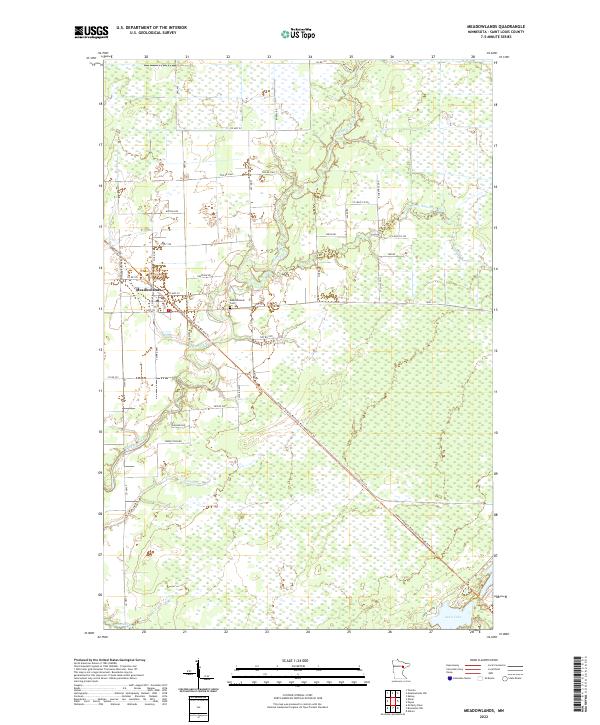
2022 Map of Meadowlands
USGS Topo · Published 2022About this map
Meadowlands sits at the heart of this St. Louis County landscape, where the Whiteface River and Little Whiteface River wind through a complex network of wetlands. The settlement is defined by a grid of local roads like Scott Ave and Co Rd 155, serving as a localized hub in an area dominated by peatlands and river floodplains. Just east of the town center lies the Meadowlands Cem, a key site for genealogical research in this part of northern Minnesota.
Find a feature on this map
44 named features on this map. Tap any name to fly to it.
Don’t see what you’re looking for? This feature index may not catch every label — zoom into the map to look around manually.
Map Details
Editions of this 2022 Meadowlands Map
This is the sole edition of this map. No revisions or reprints were ever made.
Other maps of this area

1953 · Payne
USGS Topo · 1:24,000

1953 · Alborn
USGS Topo · 1:24,000

1953 · Brookston NW
USGS Topo · 1:24,000

1953 · Duluth
USGS Topo · 1:250,000

1954 · Hibbing
USGS Topo · 1:250,000

1957 · Hibbing
USGS Topo · 1:250,000

1958 · Hibbing
USGS Topo · 1:250,000

1958 · Duluth
USGS Topo · 1:250,000

1963 · Elmer
USGS Topo · 1:24,000

1963 · Meadowlands NW
USGS Topo · 1:24,000