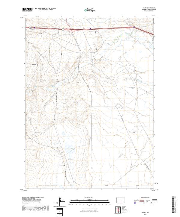
2021 Map of Meads
USGS Topo · Published 2021About this map
Stage Station Springs and the winding course of Pass Cr characterize this portion of Carbon County, where the high desert landscape meets agricultural engineering. The map reveals the persistence of early transit corridors through the area, with Meads situated near the intersection of various ranching roads. To the south, the terrain opens into the Overland Flats and the distinct geography of Sand Basin, areas traditionally shaped by the local hydrology of Vienna Ditch. The distribution of named roads like Rattlesnake Pass Rd and Overland Dome Rd illustrates a network developed to navigate this specific topography, providing a detailed record of the township and range system across the high plains as documented by the U.S. Geological Survey.
Find a feature on this map
16 named features on this map. Tap any name to fly to it.
Don’t see what you’re looking for? This feature index may not catch every label — zoom into the map to look around manually.
Map Details
Editions of this 2021 Meads Map
This is the sole edition of this map. No revisions or reprints were ever made.
Other maps of this area

1893 · Fort Steele
USGS Topo · 1:125,000

1914 · Hanna
USGS Topo · 1:62,500

1914 · Walcott
USGS Topo · 1:62,500

1954 · Rawlins
USGS Topo · 1:250,000

1955 · Overland
USGS Topo · 1:24,000

1955 · Overland Crossing
USGS Topo · 1:24,000

1955 · Coal Bank Basin
USGS Topo · 1:24,000

1955 · Oberg Ranch
USGS Topo · 1:24,000

1955 · Meads
USGS Topo · 1:24,000

1955 · Savage Ranch
USGS Topo · 1:24,000